Know the Environmental
Risk of Any Property
Instant AI-powered environmental risk scores across 5 categories — for any location on Earth.
- Click anywhere on the map to score it instantly
- One click turns your score into a PDF report
- Your first 2 reports are free — no card required
How It Works
Three steps to a complete environmental picture
Pick a Location
Click anywhere on the interactive map to select any property worldwide.
AI Analysis
Our engine scans hundreds of land uses within a configurable radius around the site.
Get Your Report
Receive a scored PDF report across all 5 environmental categories, instantly.
What We Measure
Five evidence-based risk dimensions, scored 0–10 on every report
Air Quality
All industrial and transport emission sources weighted by proximity and intensity.
Noise
Hundreds of land uses scored by noise emission potential, from highways to industry.
Soil
Industrial land uses analyzed for potential soil contamination and groundwater risk.
Radiation
Non-ionizing radiation sources — high voltage lines and transformers — mapped near the property.
Ecology
Water sources, vegetation, nature reserves, parks, and urban sustainability factors.
What You Get
A complete environmental picture in a single downloadable report
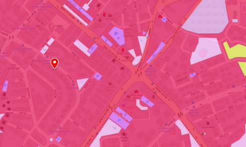 Land Use Map
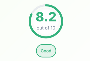 DERA Index Score
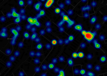 Risk Heatmap
Built For
Trusted by real estate and environmental professionals worldwide
Trusted By